

High Resolution Satellite Imagery
|
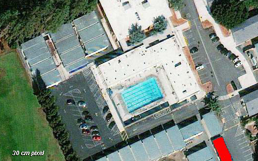
Aerial Archives provides satellite imagery for all areas of the globe including the high resolution satellite imagery collected by the satellites acquiring satellite imagery from many countries around the world. Natural color and color infrared multi band satellite imagery is available as georeferenced satellite imagery for most locations in the world the world. Aerial Archives also delivers imagery collected by the various Landsat satellites and declassified satellite imagery collected by military satellites. Aerial Archives delivers satellite imagery at up to a 30cm pixel resolution. For higher resolution imagery than what can be acquired by satellites, please consult Aerial Photo Maps. High resolution satellite imagery can be the ideal solution in instances where imagery that is more recent than existing aerial photography is required. For certain portions of the world, it is possible for Aerial Archives to deliver satellite imagery that is only a few days or weeks old. In addition, high resolution satellite imagery can be an excellent solution when imagery of remote locations which are not covered often by aerial surveys is required. Finally, high resolution satellite imagery can provide an excellent additional supplement to historical aerial photography, particularly for imagery from 2002 forward. Satellite photography delivered by Aerial Archives can be provided as digital files delivered via the internet, on physical media or as prints or murals, including very large displays with complete mounting and finishing services.
|
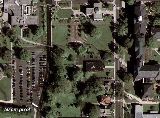
| The image above is an illustration of satellite imagery with a 50cm pixel resolution, suitable for enlargement in print to a scale of about 1"=200'. |
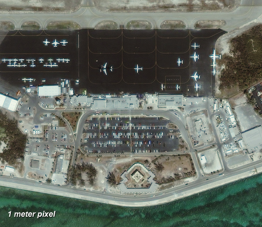
| The image above is an illustration of satellite imagery with a 1 meter pixel resolution, suitable for enlargement in print to a scale of about 1"=335'. |
|
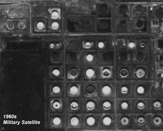
This declassified military satellite imagery is available for many parts of the world. When you need historical imagery of remote locations this can be a very useful option.
For additional information on the satellite imagery available for your project contact us. For historical research of satellite imagery, we recommend that you use the research request form. Additional information about the process of researching historical satellite photography for your location is available at aerial photography research.
|