Aerial Photographs of Contra Costa County for Immediate Download
and
Aerial Photographs of Richmond California for Immediate Download

|
Aerial Archives creates custom aerial photography of Contra Costa, California and its library contains an extensive selection of aerial photographs of Contra Costa county in California. To view aerial photographs of Contra Costa county available for immediate online license, please consult aerial photographs of Contra Costa county.
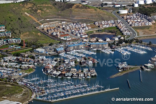
This collection of aerial photography includes oblique aerials of all of Contra Costa county including views of each of the major roads, intersections and other features. Among the aerial photographs included in this collection of aerial photography are aerials of Antioch, the Benicia bridge, Bishop ranch, the Carquinez bridge, Concord, the Concord airport Buchanan field, Hercules, Martinez, Mount Diablo, Pittsburg, Pleasant Hill, Port Chicago, Richmond, Rodeo, San Ramon and Walnut Creek.The archive also contains a comprehensive collection of vertical (straight down) aerial photography of Contra Costa County. For additional information please consult aerial maps of Contra Costa County. The aerial photograph of Brickyard Cove, Richmond, CA in Contra Costa county, shown above is available for immediate online license or prints, or to obtain this image optimized to your specific specifications please contact Aerial Archives directly.
|
Aerial Photographs of Richmond California for Immediate Download

|
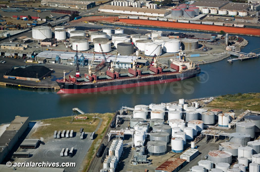
The aerial photograph of the Port of Richmond, California in Contra Costa county shown above is available for immediate online license or prints, or
to obtain this image optimized to your specific specifications please contact Aerial Archives directly.
|

|
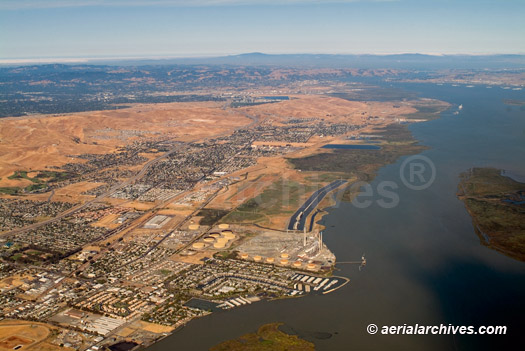
The aerial photograph of the Antioch, CA viewed toward San Francisco bay shown above is available for immediate online license or prints, or
to obtain this image optimized to your specific specifications please contact Aerial Archives directly. For custom aerial photography of Contra Costa county or current aerial photography coverage of Contra Costa county, California please contact us.
To order historical stock aerial photography of Contra Costa county, we recommend that you use the pdf research request form. Additional information about obtaining stock aerial photography is also available at aerial photography research and at aerial photography research FAQs.
|