
|
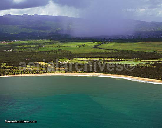
An selection of aerial and satellite photographs of Puerto Rico is represented in the library of Aerial Archives. This includes comprehensive oblique aerial photography coverage of Puerto Rico, including aerial views of San Juan, and other geographic and geological features. This aerial photography collection features aerial photographs of the Puerto Rico coastline. And includes aerial photographs away from it all, showing bad weather, the beaches, and other Caribbean aspects illustrated in Puerto Rico. Archives collection contains a large collection of aerial photographs of Latin America in addition to Puerto Rico, with a particularly large collection of Mexican aerial photography. The collection also includes a number of aerial photographs of remote islands, inclement weather including rain shower such as shown here.The archive also contains a comprehensive collection of vertical Puerto Rico aerials including aerial photos of the Puerto Rico coast both in color and black and white. The aerial photograph of Puerto Rico shown above is available for immediate online license or prints, or to obtain this image optimized to your specific specifications please contact Aerial Archives directly.
To order a specific stock aerial or satellite photograph of Puerto Rico not shown on this site, please contact Aerial Archives directly.
|

|
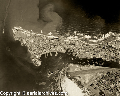
Aerial Archives provides historical aerial photography of San Juan and other parts of Puerto Rico. For historical aerial photography we recommend that you use the research request form. Additional information about obtaining existing aerial photography is also available at aerial photography research and at aerial photography research FAQs. For specific requests for Puerto Rico aerial photography not shown on this site, please contact Aerial Archives directly. |