
Recent Aerial Photography Coverage
San Diego, California
Extensive current and historical coverage of San Diego county is available from Aerial Archives. The coverage map below shows the extents of the most recently acquired seamless aerial photography of San Diego county.
|
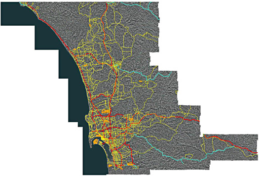
Aerial Coverage Map of San Diego Region
Acquired March, 2009
Image ID: AHLV3002
© Aerials Express
Terms of Image Use | Feedback
|
To obtaining a the complete aerial photography data set for all of San Diego county together with an application that makes creating custom aerial maps easy or to simply obtain a seamless aerial view of a portion of San Diego, please contact Aerial Archives directly.
|