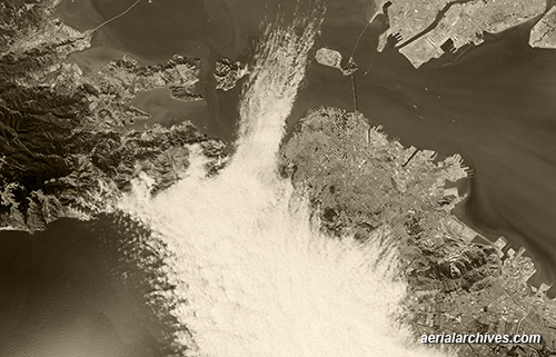
 This broad historical aerial overview of San Francisco Bay shows the fog entering through the Golden Gate in 1985. Fog covers a good portion of the City of San Francisco and extends into the bay between Angel Island and Treasure Island. On left side of this aerial photograph are portions of Marin County including Tiburon and the Richmond San Rafael bridge. On the upper right, Alameda and the Port of Oakland. Because the San Francisco Bay Area was an important early center for aviation, it is covered more extensively with historical aerial photography than many other portions of the United States.
Image ID: AHLV3574
© aerialarchives.com
More aerial photography of fog in San Francisco
More aerial photography of San Francisco Bay
More historical aerial photography of California
More San Francisco aerial photography

