San Francisco Bay Area High Resolution Aerial Photography and Satellite Imagery
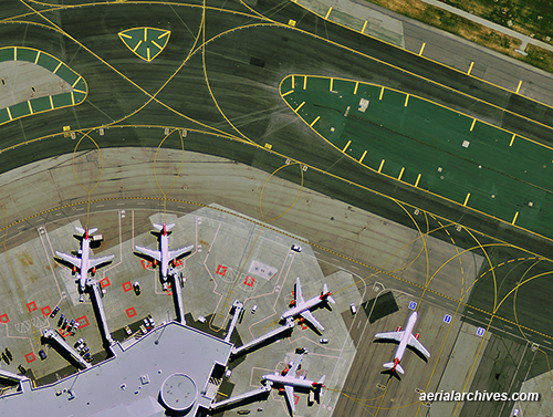
April 8 and April 4, 2012.
Image ID: AHLV3608
More information about high resolution satellite imagery
Aerial maps of San Francisco
More information about aerial maps

More information about high resolution satellite imagery
Aerial maps of San Francisco
More information about aerial maps
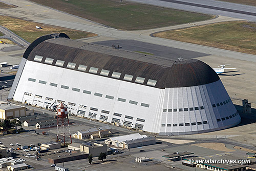
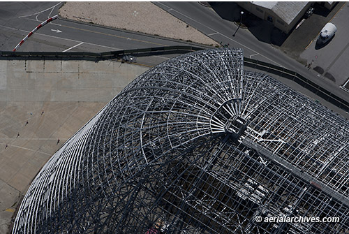
More information about aerial photography of Moffett Field
View aerial photography of Mountain View
Aerial photography of Silicon Valley
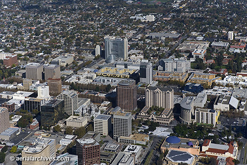
More information about San Jose, California aerial photography
View aerial photography of San Jose
Aerial photography of Silicon Valley
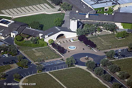
More information about Napa Valley aerial photography
View aerial photography of Napa Valley
Aerial Maps and Satellite Imagery of Napa Valley
Aerial Photography of California Wine Growing Regions
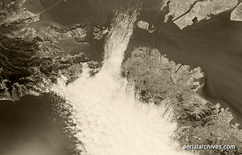
More aerial photography of fog in San Francisco
More aerial photography of San Francisco Bay
More historical aerial photography of California
More San Francisco aerial photography
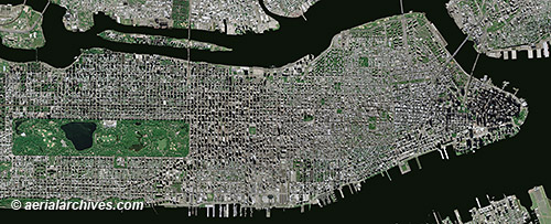
More aerial maps of New York City
More about high resolution satellite imagery
Historical aerials of New York City
Search for aerial photography of New York City
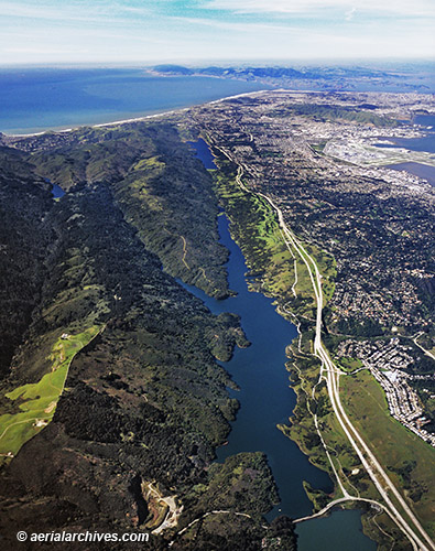
More aerial photography of San Mateo County
Aerial maps of San Mateo county
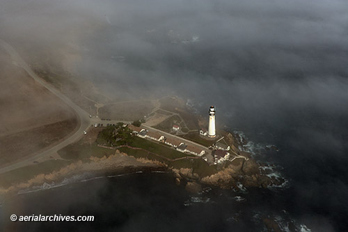
More aerial photography of San Mateo County
Aerial maps of San Mateo county
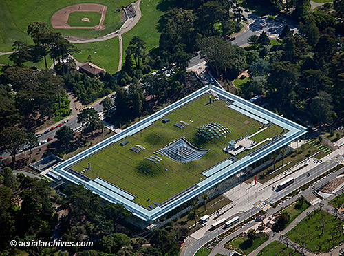
More aerial photography of San Francisco
More aerial photography of Golden Gate Park
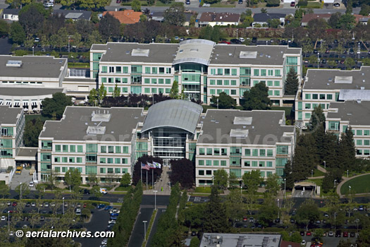
More aerial photography of Silicon Valley
More aerial photography of Cupertino