Aerial Photography and High Resolution Satellite Imagery

|
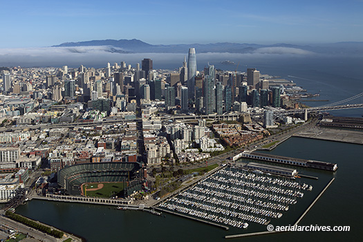
Aerial Archives creates custom aerial photography on assignment, licenses existing imagery and provides aerial and satellite image research services. Aerial Archives also maintains a large collection of stock aerial photography and provides high resolution satellite imagery and historical aerial photography to clients. Specialties include oblique aerial photography for advertising, public relations and corporate communications, infrared aerial photography, aerial photographs of cities, commercial real estate, and the environment, aerial maps, high resolution satellite imagery, aerial video and film and historic aerial images. Particularly in depth coverage includes aerial photography of San Francisco and the San Francisco Bay Area and historical aerial photography of California. For quick links to browse the collection by location or subject, please consult the Aerial Index. Aerial Archives provides high resolution satellite imagery for any location on earth. |