
New Orleans Aerial Photography For Immediate Download
|
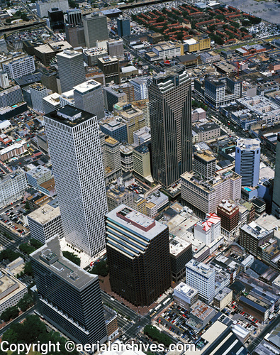
Aerial Archives library of aerial photography contains a large collection of aerial photographs and maps of New Orleans, including historic aerial photography of New Orleans and large archive of current aerial photography archive. To view aerial photographs of New Orleans available for immediate online license or prints, please consult aerials photographs of New Orleans. The collection also includes post-Katrina aerial photography including aerial photography of the damage of hurricane Katrina to areas of New Orleans and the reconstruction and clean up efforts currently underway in New Orleans. An index of previews of oblique aerials are also available at New Orleans stock aerial photography. The archive includes extensive aerial coverage of the high rise buildings in New Orleans and the major avenues and important waterfront property in New Orleans. The aerial photograph of the One Shell Square and Capital One office towers in the central business district of New Orleans, Louisiana shown above is available for immediate online license or prints or, to obtain it optimized to your needs please contact Aerial Archives directly and reference the ID number in the caption to the photograph.
|
|
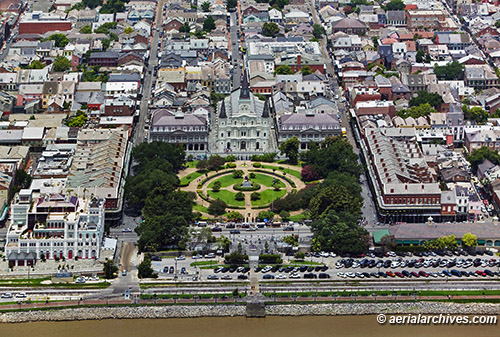
Aerial Archives provides high resolution aerial maps of New Orleans and aerial maps and satellite imagery of the entire state of Louisiana.
The aerial map of French Quarter in New Orleans, Louisiana shown above is available for immediate online license or prints or, to obtain it optimized to your needs please contact Aerial Archives
directly and reference the ID number in the caption to the photograph.
|
|
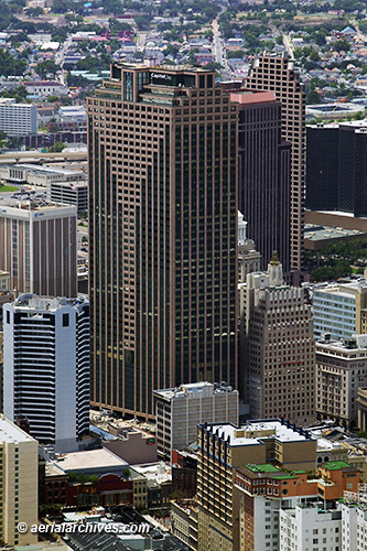
The aerial photograph of the Capital One Tower in New Orleans, Louisiana shown above is available for immediate online license or prints or, to obtain it optimized to your needs please contact Aerial Archives
directly and reference the ID number in the caption to the photograph.
|
|
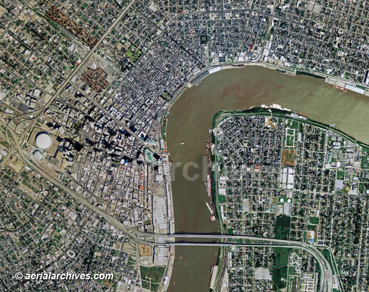
Aerial Archives provides high resolution aerial maps of New Orleans and aerial maps and satellite imagery of the entire state of Louisiana.
The aerial map of New Orleans, Louisiana shown above is available for immediate online license or prints or, to obtain it optimized to your needs please contact Aerial Archives
directly and reference the ID number in the caption to the photograph. For specific requests for New Orleans aerial photographs, delta aerial maps and aerial photography of other portions of New Orleans not shown on this site please contact us.
|
|
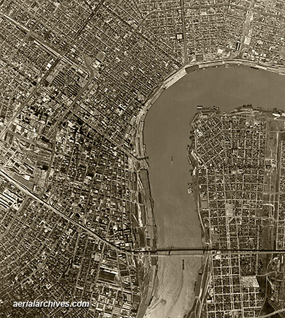
Aerial Archives provides high resolution aerial maps of New Orleans and aerial maps and satellite imagery of the entire state of Louisiana.
The historical aerial photograph of New Orleans, Louisiana shown above is available for immediate online license or prints or, to obtain it optimized to your needs please contact Aerial Archives
directly and reference the ID number in the caption to the photograph. For historical aerial photography of New Orleans not shown on this site we recommend that you use the research request form. Additional information about obtaining existing aerial photography of New Orleans is also available at aerial photography research and at aerial photography research FAQs.
|