Aerial Photographs of New Orleans for Immediate Download

|
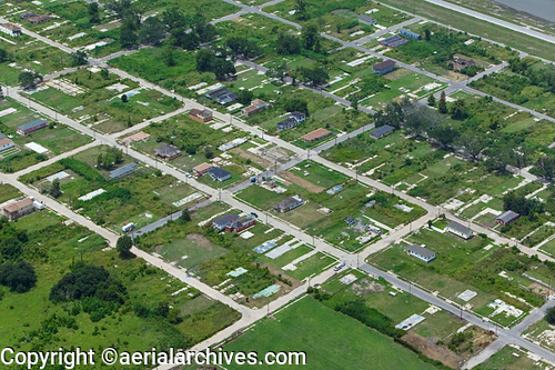
Aerial Archives library of aerial images contains an extensive collection of aerial photographs of New Orleans showing the destruction of hurricane Katrina and the clean up and rebuilding efforts in New Orleans. The aerial photograph of empty building slabs from houses destroyed by Katrina in New Orleans, Louisiana, Lower Ninth Ward, shown above is available for immediate online license or prints or, to obtain it optimized to your needs please contact Aerial Archives directly and reference the ID number in the caption to the photograph.
|

|
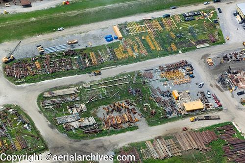
The aerial photograph of rebuilding materials in the Lower Ninth Ward, New Orleans, Louisiana, to reconstruct houses destroyed by hurricane Katrina shown above is available for immediate online license or prints or, to obtain it optimized to your needs please contact Aerial Archives
directly and reference the ID number in the caption to the photograph.
|

|
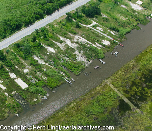
The aerial photograph of empty building slabs from houses destroyed by Katrina in
New Orleans, Louisiana shown above is available for immediate online license or, to obtain it optimized to your needs please contact Aerial Archives
directly and reference the ID number in the caption to the photograph. For additional aerial photography and aerial maps of New Orleans please visit aerial photographs of New Orleans. For requests for current aerial photography of New Orleans please contact us. For requests for historical aerial photographs, aerial maps and aerial photography of New Orleans we recommend that you use the pdf research request form. Additional information about obtaining stock aerial photography is also available at aerial photography research and at aerial photography research FAQs. |